Air Quality Layer
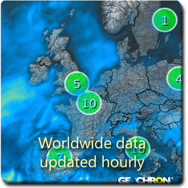
The Geochron is the perfect display to view the earth-wide effects of human habitation, including the growing impact on our atmosphere. Watch cities, regions, and countries in real-time, updated hourly.
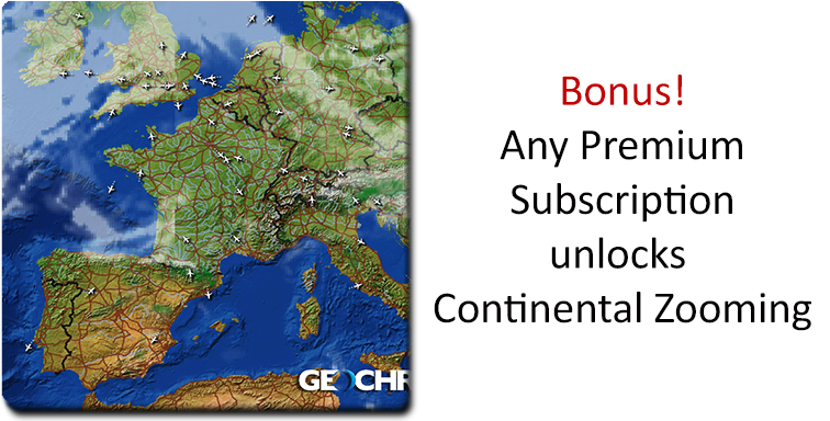
Geochron’s Air Quality Layer is only available for Atlas platforms.
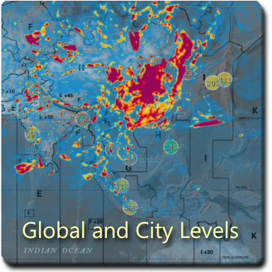
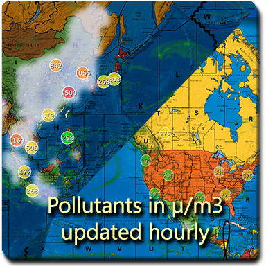
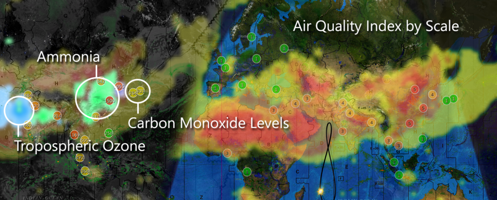
Air Quality Index
A general indicator of public risk from outdoor concentrations of pollutants. Rated on an international scale from 1-5, the Air Quality Index includes local readings from major cities around the world.
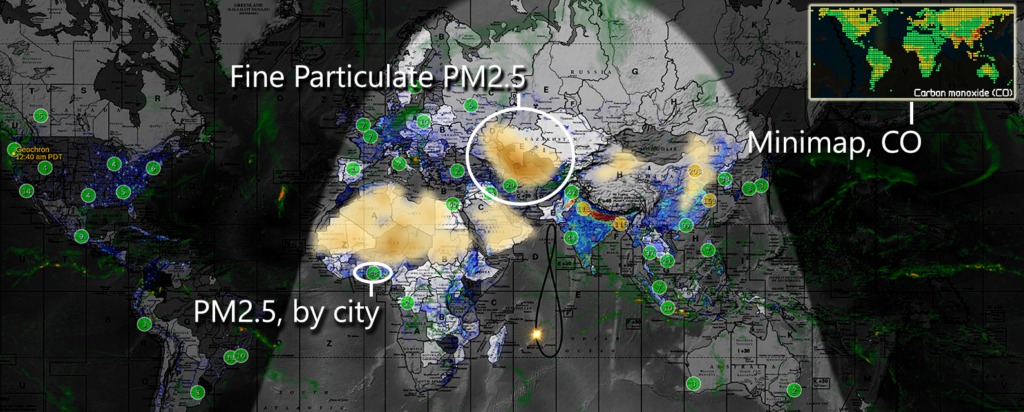
Fires, Fossil Fuels, and Volcanoes
Coarse particulates PM2.5 and PM 10 come from carbon that is burning. That includes fossil-fuel engines, but also forest fires in Siberia, and Volcanoes on the Pacific Rim.
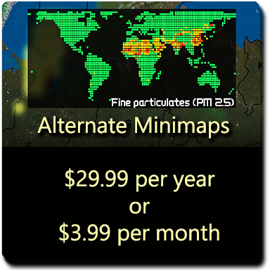
Mini-maps
Since atmospheric pollution can take up a huge portion of your earth display, view it by mini-maps in the upper left corner.
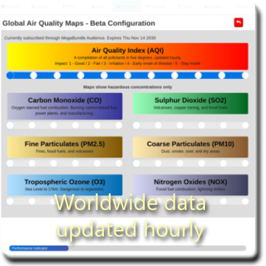
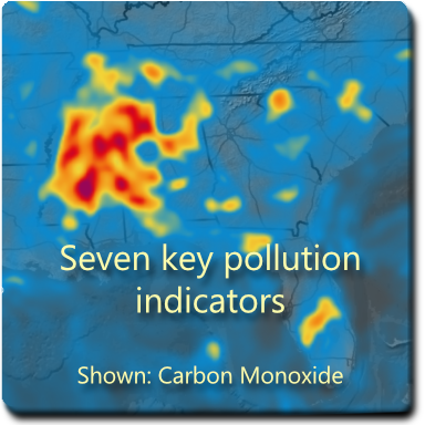
Get into the details
See city, regional, and earth-wide levels of Carbon Monoxide (CO), Coarse Particulates PM2.5 and PM10, Tropospheric Ozone (O3), Sulphur Dioxide (SO2), Nitrogen Dioxides (NOX), and Ammonia (NH3). Available also in the mini-maps.
Activate Air Quality Layer now
Geochron’s Air Quality Layer has a five day free trial enabled in the Menu of your Geochron Atlas.
This is a premium bundle.
Monthly: $3.99
Annually: $29.99