Mapsets
Standard vs. Premium, Topographical vs. Geopolitical. What's the deal?
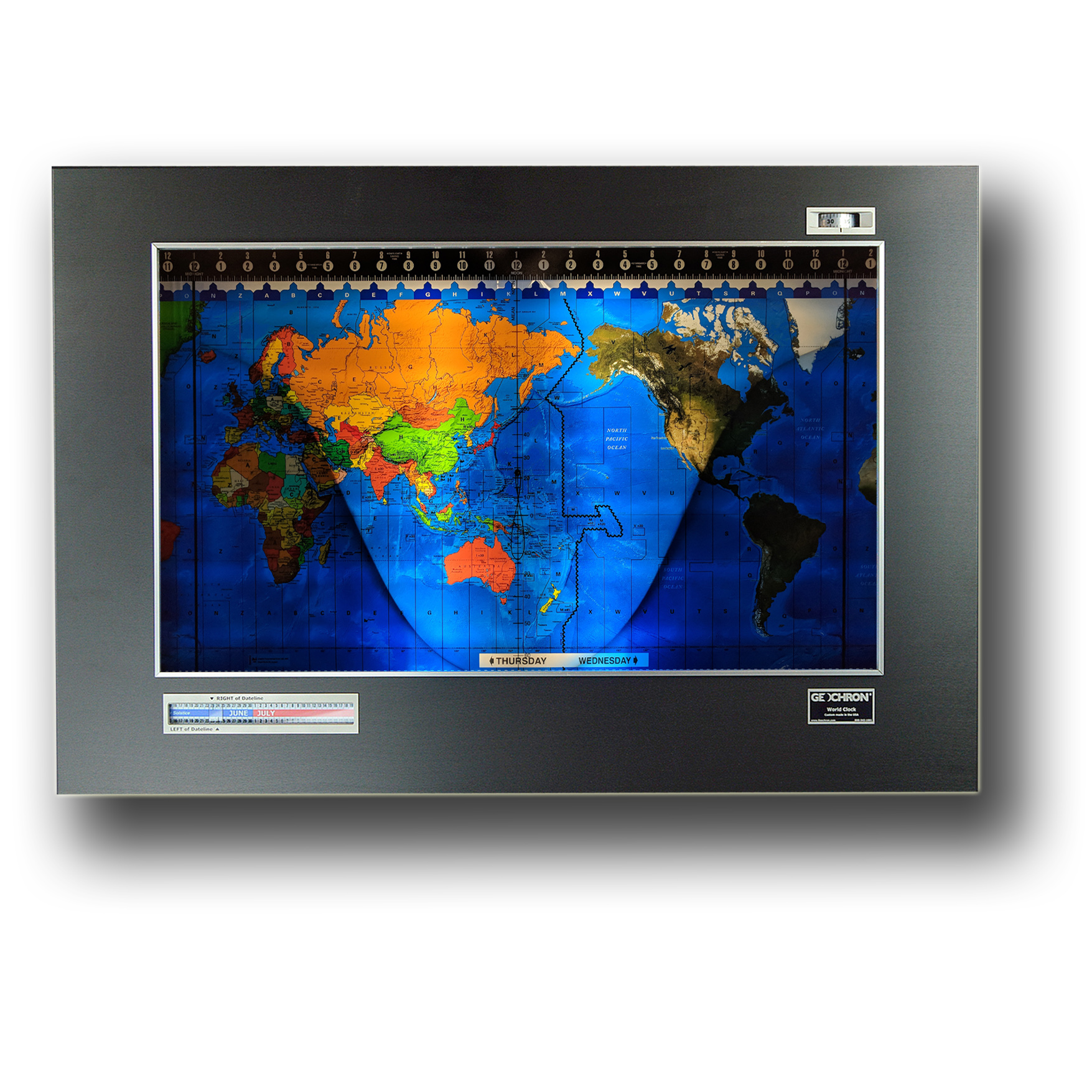
A New Map to last the Ages.
In 2018, we introduced our Premium mapset. It looked so good that in 2022, all clocks are now built around this premium mapset that has the best features of our Topographical and Geopolitical maps, showing the contours of the Oceans and Geopolitical spectrum of countries. The great mountain ranges of the sea are shown along side the peaks upon the land in deep lustrous color.
These mapsets also last longer and will not flake, ever. The dye itself is sublimated in the Lexan substrate, cured with lasers, and dark-room developed in a six foot bath. The Standard mapset is no longer available.
A Premium mapset will show:
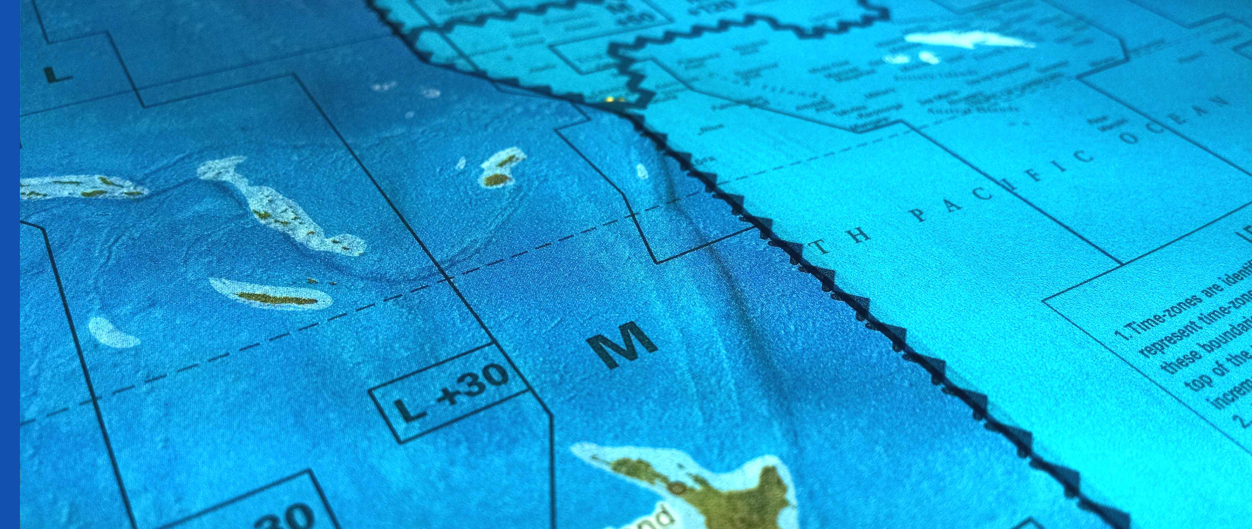
- Ocean topography
- A brighter appearance with deeper colors
- Oceanic and human geographic datapoints, like major shipwrecks, coral reefs, nuclear disasters, and spaceports.
- These are the mapsets used in our Geochron Digital 4k.
There are three maps in every Geochron
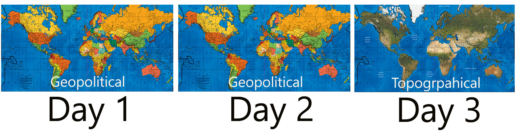
The Geochron’s mapset has three maps spliced together in a six feet loops that winds through the clock.
Until 2015, the Geochron had only been built around a Geopolitical map spliced together. Now, every restoration and new clock has a combination mapset as shown above. Every third day, the clock will display a topographical mapset.
The Topographical mapset shows the earth like “view from the sky”. Indeed, the satellite imagery composited into an entire map of the world is stunning. Compared to the human view, this is the Earth of the last 10,000 years, with several dozen large cities shown for reference. The muted contours of the ocean bottom are visible too in this map.
Our premium mapsets combine the contours of the ocean with the topography or geopolitical details of the land, and are several orders of magnitude deeper in color and depth.
All maps show:
- The precise time zone lines
- Major longitudes: the Prime Meridian (Greenwich)
- Major latitudes: Equator, Tropic of Cancer, Tropic of Capricorn
- Topographical reliefs of the land.
- A Mercator Projection
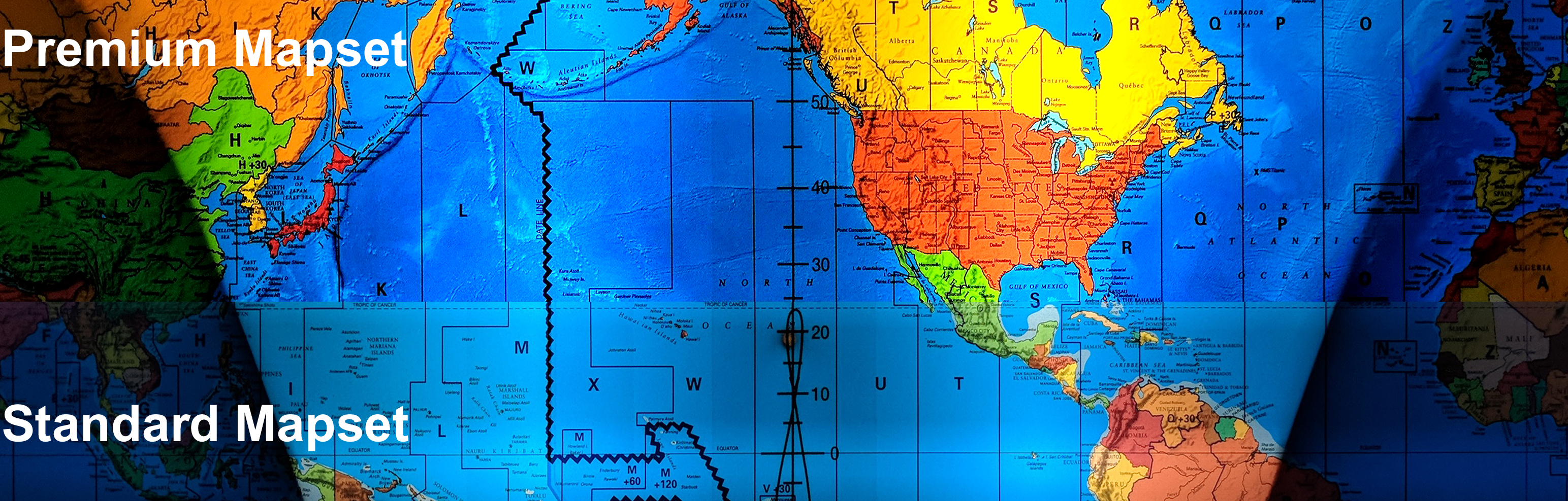
A Side By Side Comparison of Maps
Until 2018, our six-foot long mapset was printed on huge four color presses like news paper, and backlit by fluorescent bulbs. Today, the maps are printed one at a time on Fujiclear photographic film with lasers, and cured in a darkroom. The result is a mapsets that is more detailed, and luminescent than what we had before. Winding through the rollers in the clock, they do not flake or warp. Side by side, the visual difference is striking.
This new mapset process was first used in our 2018 Earth Limited Edition, and is now used in all Geochron mechanical world clocks.
Standard mapsets were the norm
for 50 years, and were run on huge multi-color offset printers. Geochron began experimenting with newer printing technology in Limited Edition clocks. The results were fantastic and more expensive, but worth it.
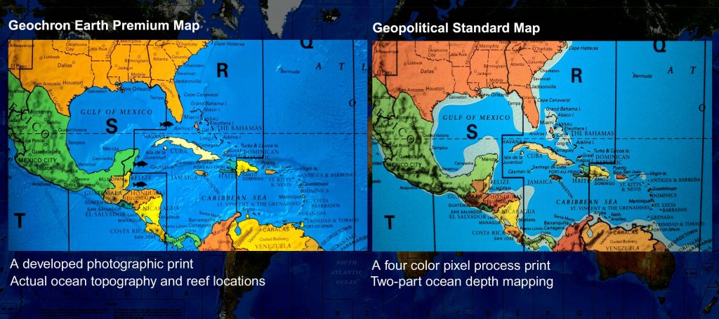
Photographic mapsets are a dramatic upgrade
Geochron now only uses the premium mapset for all clocks. It comes with an updated world map that combines the ocean topography with the land. Deep blue ocean trenches contrast with the deserts and mountains of our geopolitical map, with greater depth and color than ever before. They are printed on dye sublimated Lexan, cured by laser lightwave, and developed in a dark room with a six foot bath. It is the best print available for projects that are backlit by LED lights, like ours.
Premium Mapsets are installed in all restorations, and new clocks with wood, steel, or stainless panels.


Standard Geographical mapsets are no longer available, but are displayed above for reference.
The picture below is a splice between a standard geopolitical map panel and a standard topographical map panel, making a combination mapset. A Premium mapset has no splice.